OVERVIEW
The Kgalagadi
The Kgalagadi (Kalahari) Desert is a large arid to semi-arid sandy area in Southern Africa extending 900,000 square kilometers, covering 84% of Botswana and parts of Namibia and South Africa. The Kgalagadi is part of a huge sand basin into which sediments have continually been deposited and covered with sand.
Kgalagadi, meaning “the great thirst” in Setswana is the largest continuous area of sand on earth, touching nine African countries. With an approximate area of 2.5 million km², it extends through 30 degrees of latitude and embraces several ecological zones.
It is a region of great ecological, vegetative, geomorphological and climatic diversity. At its northern reaches (Gabon, Congo and Zaire), the Kgalagadi lies in the humid tropics and is dominated by parts of the Congo drainage system. At its core, in Botswana and neighbouring countries (South Africa, Namibia, Zambia, Zimbabwe and Angola), it is an arid to semi-arid region with little surface water.
The sand masses in the Kgalagadi were created by the erosion of soft stone formations. The wind shaped the sand ridges, which are so typical of the landscape in the Kgalagadi.
Only in recent geological history, 10 to 20,000 years ago, were the dunes stabilised through vegetation. Unlike the dunes of the Namib Desert, those of the Kgalagadi are stable and not wandering.
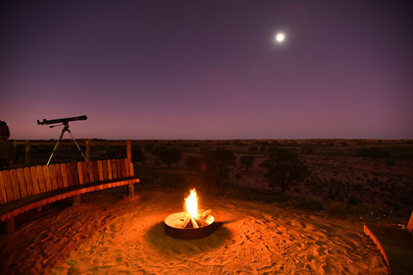
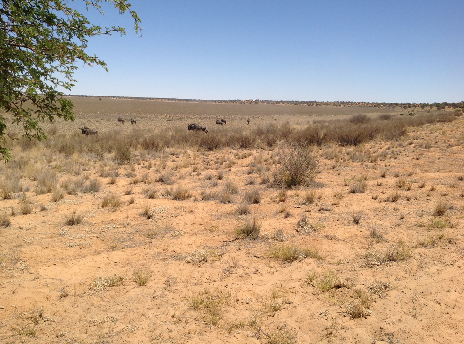
The Kgalagadi Desert is therefore not a true desert in the sense that it is well vegetated and receives copious but very unpredictable rainfall. It does however hold no permanent surface water and has resulted in fascinating ecological challenges for flora, fauna and the people of the Kgalagadi who have inhabited the area for thousands of years.
The Kgalagadi Transfrontier Park is one of five (5) national parks set aside within Botswana’s vast share of the Kgalagadi desert. It is one of the largest conservation areas in the world, and one of the last truly unspoilt ecosystems.